
San Antonio was a watershed. Although the desert flora got taller and denser as I rode east and actual farms started to appear at Uvalde, 83 miles west of San Antonio, east of that city the landscape changed radically. The three major factors: water, oil and money.
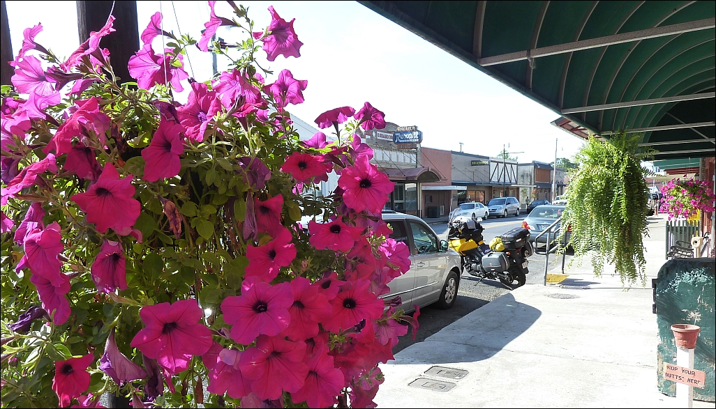
Take, for example, this attractive little farm on U.S. 181 just east of Floresville Texas:

And a few miles further down the road, we could have been in Kentucky:

And just a little further down the highway toward Corpus Christi, the energy industry for the first time reared its pipes and towers:

Corpus Christi's bustling freeways was quite a change after more than a thousand miles of lonely desert roads, but I soon escaped over the bridge to Mustang Island. I'd considered camping in the state park there, but I encountered some disinsentives.

First, there were the snake warnings. While I'd off-handedly shooed a curious roadrunner away from my tent in Tucson, the idea of snakes sharing my accommodations wasn't a happy one.

Then there was the prospect of having children running around bugging me because they had somehow escaped the undertow.

Finally, there was the fact that sleeping in a tent on a windswept beach was an unlikely and uncomfortable idea, as was riding a fully-loaded V-Strom through sand. I decided to keep moving.

At the north end of Mustang Island I took the free ferry from Port Aransas to Highway 361, a short ride, and the bridge over Redfish Bay back to the mainland, where I headed northeast on Texas Highway 35 through Rockport and Port Lavaca to Bay City, which actually is not near the bay.

In Port Lavaca, the Calhoun High School football team is unfortunately dubbed the Fighting Sand Crabs -- worst team name since the Delaware Blue Hens.

As evening approached, I checked into a Motel 6 in Bay City. It was time for an oil change and I found three quarts of Shell Rotella Synthetic 5W40, a funnel and an oil filter at Walmart.

At dawn's early light, I drained the old oil into a spaghetti pot supplied by Motel 6, and filled the sump with clean lubricant. The Suzuki tool kit has the wrench needed for the drain plug, but I needed my CruzTools wrenches and sockets to get the skid plate off.
When I was done, I used the funnel to pour the old oil out of the spaghetti pot into the bottles the new oil came in. The bottles went into the trash. The squeeze bottle of Dawn dishwashing detergent I took with me cleaned up the funnel and the mess I made in the spaghetti pot.

Leaving Bay City, I admired these Angus munching the fat grass, wet with dew.

Approaching the coast at Freeport, I got my first look at the refineries and chemical plants that line the gulf shore.

All the houses on the barrier islands are built on pilings to keep them above the surge of the next hurricane. Virtually every house along the beach on Mustang and Galveston Islands is either new or recently restored.

A new house perches on stilts above the dunes on Mustang Island

Here's a storm survivor -- a house built inside a steel hemisphere.

In Galveston, I had breakfast at a Sonic drive-in.

The amusement pier at Galveston has been restored since the last big storm hit.

Sunbathers relax on Galveston Beach while oil tankers wait for their loads offshore. The surf was not up.

From Galveston, I took another, longer, 20-minute ferry ride over to the Bolivar Peninsula and Port Arthur.

The Texas Department of Transportation operates a fleet of color-coded, free ferries to connect the more than 50,000 residents of Galveston to the mainland and the nearby Houston metropolis.

We met a twin of our ferry in the middle of the channel.

I chatted with this fisherman who lives in Galveston, but frequently rides his bike down to the dock and takes the ferry over to the Bolivar Peninsula breakwater to fish with his buddies.

There is little hurricane damage visible from the highway. This sagging house was the only storm victim I noticed along the shore road to Port Arthur.

This metal shed appears to have run afoul of a hurricane, but the neighbor oil well seemed none the worse for wear.

Not far from Port Arthur's conglomeration of refineries and petrochemical plants, I crossed the state line into Louisiana, following the coastline and then turning north through the bayous toward Lake Charles. This shrimp boat and its dilapidated pier sat right next to Louisiana Highway 27.

I spent the night in Lafeyette, La., home of the Ragin' Cajuns of the University of Louisiana Lafeyette -- the state's fourth largest city.
In Bay City, I'd called an old newspaper friend, Jay Silverberg, a Louisiana native and got some tips on places to go and things to see. After a good night's sleep, I rode down to Abbeville and stopped for breakfast at Comeaux's Cafe across from the parish courthouse (above). Besides the usual southern breakfast staples, the cafe offered gumbo stock by the half gallon -- just add chicken or shrimp "if your (sic) in a hurry for a great Gumbo!"
Here's the main street in Abbeville.

East of Abbeville, I stopped on a drawbridge to take this photo of the waterfront at Erath, La.

Unfortunately, I've arrived during "love bug" season. For about two weeks, these black critters splash themselves against grilles and winshields from Texas to Florida.
Cleaning the mess off the bike each evening takes about 30 minutes of scrubbing.

Avery Island, between Erath and New Iberia, is the home of Tabasco hot pepper sauce. Although peppers are also grown, using seeds from Avery Island, in Central America, every bottle of Tabasco is processed in the Louisiana plant. When I arrived, a throng of bicyclists riding in an American Red Cross fundraiser, were taking a break at the Tabasco factory and gift shop under a spreading live oak tree bedecked with Spanish moss.

700,000 bottles of Tabasco are produced each day, four days a week, year round -- more than 145 million per year! The peppers are crushed to extract the juice, which is fermented in oak barrels acquired used from the Jack Daniels whiskey distillery. After fermentation, the pepper juice is mixed with vinegar and stirred for weeks until ready for bottling. Above, the filled and capped bottles head down the assembly line.

A group of spiced-up bicyclists leave the Tabasco bottling plant.

The gift shop sells hundreds of Tabasco-branded products. I picked up a water bottle with a clip to keep it from falling off the motorcycle.

Passing through New Iberia, in early afternoon, I arrived in Thibodaux, my friend Jay's home town. The highlight of the downtown area is the Dansereau House Bed & Breakfast.

Jay's dad worked at the Daily Comet, which appears to be alive and well. A copy was delivered and waiting on the sidewalk in front of the Dansereau House.

In the nearby Thibodaux Public Library, I found more copies of the Comet.

I also found artifacts documenting the town's history, which may or may not have included Jim Bowie, famous for his big knife and his demise at the seige of the Alamo in San Antonio.

There were many other old photos, including this one of the city hall that was torn down in the 1960s.

Not far away, I found the offices of today's Thibodaux Daily Comet.

The paper is celebrating moving to new color presses and an updated design.

After stopping by the Daily Comet, I used Yelp to find Thibodaux's best seafood restaurant and enjoyed a late lunch of fresh, fried crawfish.

My next objective was to reach New Orleans and find a place to stay for the night. I took Louisiana Highway 1 out of Thibodaux along the bayous to Raceway, where I saw this Louisiana-style cemetary, adapted to the reality that the land is mere inches above sea level.

Wednesday, May 8, began in Lafeyette (A), headed south to Abbeville (B), went east to Jenrette (C), Morgan City (D), Thibodaux (E) and Raceway (F) and ended in New Orleans (G).
No comments:
Post a Comment